
It’s an All-Star roster of Western names: Casper, Lander, Laramie, Jackson Hole, Yellowstone, Wind River, Bighorn, Medicine Bow, Cheyenne, Platte, Bridger, Teton, Flaming Gorge, Shoshone, Sioux, Green River, Sacajawea, Arapaho, Sublette, Fremont, the Oregon Trail, Butch Cassidy, Tom Horn, Cody, Coulter, the Pony Express, Sheridan . . . Oddly, it’s the name Wyoming that’s the outlier. Until European settlement nothing in Wyoming was ever called “Wyoming. ” The word was imported from Pennsylvania’s Wyoming Valley, named from a Delaware Indian word that means “open plain. ” Open plain fits well enough for parts of Wyoming, but it’s not a natural fit. Open Plain was tagged onto the new territory in 1865 by an Ohio congressman who drafted the territorial legislation. Wyoming the territory was 2000 miles from anywhere where anyone had ever said “Wyoming.”1

Early in Wyoming’s history, say roughly 100 million years before statehood, the East Coast was separated from the West Coast not by flyover country but by the great inland sea, the Western Interior Seaway.2 Wyoming was the home of both massive marine life in the sea and dinosaurs on the land. There were giant sharks and giant marine reptiles and prehistoric fish, and not one angler ever fished for any of them. There were giant clams that were never poached in wine. Roughly one in five of the fossil specimens in New York’s American Museum of Natural History came from Wyoming. Wyoming was a fossil factory.

In Thermopolis, where we’re heading, there is the Wyoming Dinosaur Center, which advertises itself as the best dinosaur museum in Wyoming. Not, note, the only dinosaur museum in Wyoming. In a small, focused way, it is one of the best natural history museums in the world.
Wyoming’s rivers are geologically young. John McPhee in his book about Wyoming geology, Rising from the Plains, says that rivers are always young, but Wyoming’s mountains are relatively young as well, postdating the inland sea. Wyoming’s mountains are the product of plate tectonics, except that the Absaroka Range that surrounds the Yellowstone Caldera is volcanic.3 Throughout the state mountains jut and twist into the plain. North American mountain ranges should run north-south, but at least one Wyoming range, the Owl Creek Mountains, runs east-west. There’s always got to be one troublemaker.

Lewis and Clark missed Wyoming, but beginning in the 1820s, Wyoming was a hotspot for our leading fashion industry workers, the mountain men. Jim Bridger, John Coulter, Kit Carson, Thomas Fitzpatrick, Joseph Meek, Ceran St. Vrain, the Sublettes, all of them were in Wyoming. All of them were collecting beaver furs for hats.
After the mountain men, the Emigrant Trail, known at various times and in various places as the Mormon Trail, the Oregon Trail, and the California Trail, passed through Wyoming and then split for separate final destinations. The Emigrant Trail is the nation’s longest graveyard. It’s estimated that 65,000 emigrants died on the trail from disease, starvation, exposure, exhaustion, hostile encounters with plains tribes, weather, wild animals, and plain ol’ mishaps. Accidental shootings were a big favorite. Graves along the trail would, if evenly spaced, have left a grave for every 50 feet of travel.

After Nebraska, the Union Pacific’s eastern portion of the Transcontinental Railroad entered Wyoming, crossed the Rockies and moved on toward Salt Lake City. The eastern and western halves of the railroad linked in Utah in 1869, and the settlement encouraged by the trains upped the ante on the Indian Wars.
The plains tribes were violent, and even before the Europeans they spent a good bit of energy battling each other for territory. The Sioux, for instance, migrated into the Dakotas and Wyoming from Minnesota, pushing for territory all the way. Private land rights may have been a foreign concept for Native Americans, but tribal claims for territory were not. They did not share well with others. The childhood of a young Sioux or Shoshone or Crow or Cheyenne boy has been compared to the childhood of a young Spartan boy, with the skills of war trained from first breath. A boy would be on horseback from childhood. Apparently an infant’s feet could be tied to a horse’s mane.
Washakie led the Shoshone in both peace and war for a good bit of the 19th Century. He was Jim Bridger’s father-in-law, and negotiated the designation of the 2.2 million acre Wind River Reservation for the Shoshone.4 That’s about where we’ll be fishing. The Crows and the Shoshone fought over the Wind River Valley, and the story goes that Washakie, already in his 50s, faced the Crow chief Big Robber in solo combat for control of the valley. Washakie killed Big Robber, removed his heart, and took a bite. Crowheart Butte in the reservation memorializes the battle.

There were cattle drives from Texas to Wyoming. Of course there were cattle drives. There was a range war in Wyoming. Of course there was a range war. There was gold in the hills, and there was desert and there were mountains and there was forest. Owen Wister’s The Virginian was set in Wyoming. Shane is set in Wyoming. If it was done in the West, real or myth, then like as not it was done more than once in Wyoming, from dinosaurs to range wars. It’s a lively past, and it’s like Mr. Faulkner said (more or less), it ain’t even past.
Geography and Population
The state’s boundaries form a square, easy enough, and there aren’t any major cities, but the US Geological Survey has recorded 109 named mountain ranges and sub-ranges in Wyoming. It’s really not enough to say that as you head north through central Wyoming, the Rockies are on the left. The right third of the state includes more than a little of the High Plains, continuing into Western Nebraska along the North Platte River, except that Eastern Wyoming is not all Plains. In the northeast there are the Black Hills, and in the southeast below the plains there are the Laramie Mountains and Medicine Bow Mountains. The Big Horn Mountains run north-south through the upper center of the state to the right of the Bighorn River, connected to the Absaroka Range by the east-west Owl Creek Mountains.
Yellowstone National Park is a huge square in the northwest corner, bordered on the east by the Absarokas. Below Yellowstone are the Tetons, the Wind River Range, and the Wyoming Range. Those are all part of the Rockies.

For fly fishing, the rivers in and around Yellowstone are among the most famous rivers in the world, and in addition to the Yellowstone include the Lamar, the Firehole, the Gardner, and the Gallatin. The Snake also exits Yellowstone Park, but instead of east towards the Mississippi and the Gulf of Mexico, it goes west until it ultimately joins the Columbia and then the Pacific. The Green River runs southwest into Utah, and from the center of the state the North Platte flows north out of Colorado then takes a hard right into Nebraska.
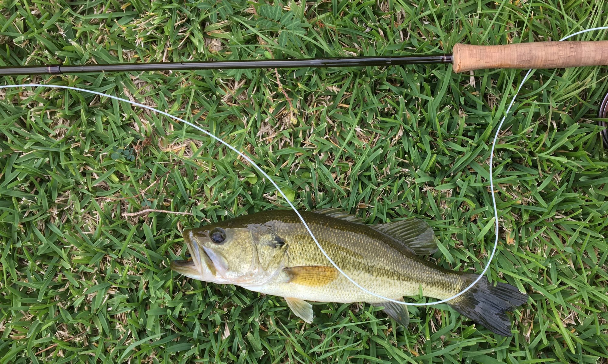
The Bighorn/Wind River (where we’ll fish) ultimately runs north dead center to the Yellowstone River in Montana. Then it joins the Missouri, then the Mississippi, and finally the Gulf of Mexico.
At 587,618, Wyoming is the least populous state, with a population even smaller than Alaska’s. At 97,814 square miles, it’s the tenth largest state by area. That makes six people per square mile.5 Wyoming’s population is 83.1% Anglo, 1.2% Black, 2.8% Native American, and 10.8% Hispanic.
There are no cities with more than 100,000 people in Wyoming. The largest city, Cheyenne, has a population of 63,957, which is certainly large enough for a Walmart, but not large enough for professional baseball. The Cheyenne Symphony shares its conductor with Dubuque, Iowa. The last time I drove through the state, some 30 years ago, we drove down the left-hand side from Yellowstone to Flaming Gorge Reservoir, and I don’t remember passing through a single town after Jackson Hole. I’m sure there were some, but all I remember as we drove south were the long stretches of straight flat highway paralleling the Wind River Range. Even for a kid from the Great Plains, that was a memorable lot of empty.

In Thermopolis, the average high temperature in June is 77°, and the low is 51°. In the coldest months, December and January, the average high is 34°F and the low 15°F. There are about 12 inches of rain annually, but that probably doesn’t include snow. I have read that highways have been closed for snow in Wyoming every month of the year except July and August.
Politics
Everybody in Wyoming is Republican, and I’m pretty sure that there aren’t any vegetarians, either. Donald Trump received 72.3% of the Wyoming vote in 2024. The only exception was Teton County, which must be jam-packed with California expats and federal employees. That’s the only way to explain it.

Longmire and Pickett
There are actually two fine series of mystery novels set in Wyoming, which for a population of 587,618 makes it only slightly less deadly per capita than Oxford, England. Oxford, of course, leads the universe for fictional murders per capita. I have, I think, over the course of the last 20 years, listened to all of Craig Johnson’s Walt Longmire novels, and have watched all of the now-canceled series. The television series got a wee bit bleak towards the end, but the novels never have. I am sure that I will drink a Ranier beer once I reach Wyoming, because that’s what Longmire drinks.
The other series of novels, C.J. Box’s Joe Pickett novels are also fine bits of Wyomingania. Box’s politics intrude from time to time, and I find his politics grating, so I like Pickett less than Longmire. That doesn’t mean that I ever miss listening to one when it comes out.
This summer Kris and I have listened together to Larry McMurtry’s Lonesome Dove, which I reckon is about 40,000 pages long. McMurtry is almost a hometown boy, and Lonesome Dove is maybe our greatest western novel. Captain Call and Gus have not yet reached Nebraska, so our coming road trip will follow parts of their route. As soon as we finish Lonesome Dove (and this trip we will), I plan to slip in The Virginian, just to make a personal judgment as to which Western novel is better. I’m afraid The Virginian will not appeal to Kris, so don’t tell her my plan.

- I have also read that Wyoming had been tagged “Wyoming” by persons unknown before the legislation, but it was still a Delaware word about a place in Ohio. I like the legislative story better, so I’ll stick with it. ↩︎
- This could quite properly be called the Gulf of America, except that it was a sea, not a gulf.
↩︎ - Any day now the Yellowstone Caldera will blow and wipe out life as we know it. ↩︎
- The Arapaho are also on the Wind River Reservation. The Arapaho and Shoshone were traditional enemies, and the Arapaho had no history in the Wind River Valley. The US, however, messed up, and didn’t designate a reservation for the Arapaho. When asked if they could be parked temporarily in the Wind River Reservation, Washakie was too accommodating to say no. It was a problem then, and it’s still a problem, but likely one that the Shoshone are stuck with. ↩︎
- Wyoming’s population is second lowest to Alaska. Alaska has the lowest density per square mile, 1.3, but every Texan knows that Alaska cheats when it comes to matters of size. ↩︎